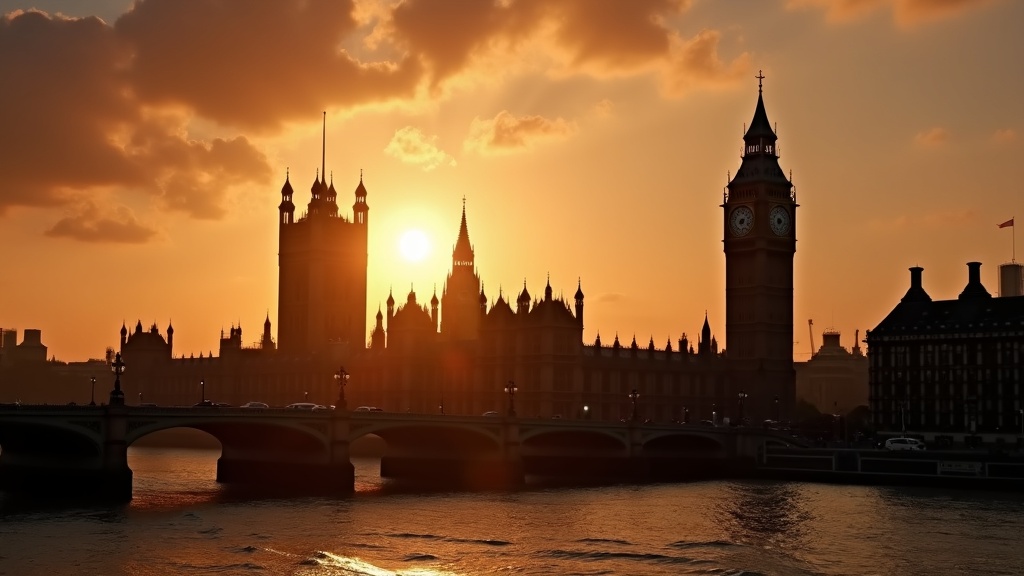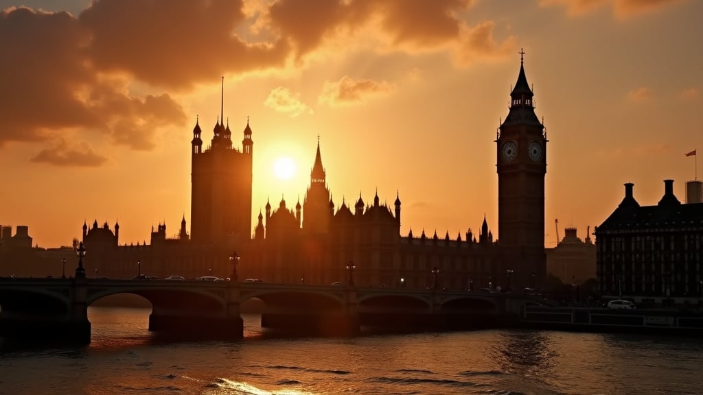
The forecast is for water
The United Kingdom is facing a warmer and wetter than normal autumn. That is the latest forecast from the Met Office. The national weather service has raised the probability of an autumn with increased rainfall. A higher risk of floods follows.
The cause is an El Niño event. This one is different. The developing weather pattern in the Pacific Ocean is one of the strongest on record, according to the forecasters in Exeter. It is this distant warming that will shape Britain’s weather for the next three months. The connection is direct. The analysis is clear. The effects could be severe. A warmer Pacific pushes atmospheric changes across the globe, altering the path of the jet stream that steers weather systems towards the United Kingdom.
This official projection does not guarantee floods. It increases the chance of them happening. The Met Office provides probability forecasts. They are not certainties. The models suggest a definite shift towards milder, wetter conditions from September through to November. This information, released on 11 September, provides the basis for contingency planning by local and national authorities who must now prepare for the possibility of saturated ground and swollen rivers. The forecast is for water. A lot of water. The government has been briefed.
How the Pacific changes our weather
The process begins far away. It begins in the Pacific Ocean. El Niño is the name given to the periodic warming of the surface waters in the tropical eastern Pacific, a vast expanse of ocean stretching from the coast of South America westwards along the equator. Under normal conditions, trade winds blow from east to west, pushing warm surface water towards Asia and allowing cooler, deeper water to rise up along the South American coast. An El Niño event turns this entire system on its head. The trade winds weaken. Sometimes they reverse. The pool of warm water, no longer pushed west, spreads back east across the ocean’s surface.
This is more than just warm water. The ocean and the atmosphere are a coupled system. A warmer ocean surface heats the air above it, causing more moisture to evaporate and creating a huge region of warm, wet, rising air. This generates persistent thunderstorms and heavy rainfall over the central and eastern Pacific. The effect is profound. This enormous disturbance, a massive release of energy into the upper atmosphere, creates waves that ripple outwards across the globe. These atmospheric waves alter the position and strength of the high altitude jet streams, the fast flowing rivers of air that steer weather systems around the planet.
For the United Kingdom, the key impact is on the North Atlantic jet stream. It is our primary weather maker. The ripples from the Pacific tend to push this jet stream further south than its usual track during the autumn and winter months. A southerly jet stream is different. It is more energetic. Instead of flowing to the north of the UK and bringing colder, drier air from the arctic, a southerly track drags weather systems across the vast, relatively warm expanse of the Atlantic Ocean. This is the mechanism that delivers milder air to Britain. It is also the mechanism that delivers more rain.
These weather systems, known as depressions, gather moisture as they travel eastwards over the ocean. A more southerly jet stream steers them directly towards the British Isles, one after another. The result is a higher frequency of wet and windy spells. The air they bring is not from the cold north. It is from the mild mid Atlantic. This is why a strong El Niño in the distant Pacific correlates so reliably with warmer and wetter autumn and winter seasons in the United Kingdom. The connection is not a mystery. It is a predictable chain of atmospheric events. A warm ocean changes the air. The air changes the jet stream. The jet stream changes our weather.
The ghosts of winters past
This is not new. History provides a warning. Two previous powerful El Niño events offer a clear guide to what the United Kingdom might expect. The first occurred between 1997 and 1998. The second, more recent, event took place from 2015 to 2016. Both periods saw the Pacific warm dramatically, and both were followed by severe weather impacts for Britain, demonstrating the clear and damaging connection between a distant ocean and our local climate.
The memory of 2015 is still fresh for many. That winter brought Storm Desmond. It was a brutal event. The rain was relentless, falling on ground already sodden from a wet November. In Cumbria, the storm broke records for rainfall which had stood for more than fifty years, with a gauge at Honister Pass recording 341.4 millimetres in a single twenty four hour period. The flooding that followed was devastating, particularly for communities across Cumbria and Lancashire. Entire valleys became lakes. More than 16,000 homes were inundated, power was cut to tens of thousands of properties, and the city of Lancaster was plunged into darkness for several days. Key infrastructure failed, with the historic Pooley Bridge in the Lake District being completely swept away by the force of the River Eamont. The military was mobilised to assist with evacuations and repairs. The Association of British Insurers calculated that its members paid out £1.3 billion in claims. This was part of a total economic cost estimated at £1.6 billion for that single winter's floods alone.
The earlier event, spanning 1997 to 1998, shows a similar, destructive pattern. The winter was unusually mild and very wet. Ground became saturated. Catchment areas could hold no more water. The crisis arrived during Easter of 1998, when two days of continuous heavy rain fell on the already soaked river basins of the Midlands, particularly across Northamptonshire and Warwickshire. The River Nene and the Great Ouse swelled with astonishing speed. They burst their banks. The resulting deluge prompted what was, at the time, the largest peacetime emergency response in the country's history. Even so, the Environment Agency later reported that over 4,500 properties were flooded, five people lost their lives in the floodwaters, and the total cost of the damage, including disruption to business and agriculture, exceeded £350 million. The events were separated by nearly two decades. The atmospheric trigger was the same.
These examples are not simple history. They are a blueprint for risk. The physics which connected a warm Pacific to a flooded Cumbria in 2015 have not altered. El Niño loads the dice. It makes a southerly track for the North Atlantic jet stream more likely, which in turn makes the arrival of sequential, moisture heavy Atlantic depressions on British shores a much higher probability. Past events show this is a scenario that can lead to record rainfall, widespread property damage and a financial cost that runs into the billions. The damage is not just financial. It is also found in the immense disruption to transport networks, the loss of crops in drowned fields, the permanent closure of small businesses unable to recover, and the lasting psychological trauma for thousands of people forced from their homes by rising water. The warnings are written in the records of past storms. They are clear.
A nation prepares for the deluge
The forecast has immediate, practical consequences. They begin in the fields. For farmers in Lincolnshire, the timing is ruinous. The autumn potato harvest, a critical point in the agricultural year, depends on dry ground and workable soil. Heavy rain prevents that. It saturates the land. Heavy machinery cannot move on sodden earth, and the potatoes themselves will begin to rot if left for extended periods in cold, wet ground. The loss is not just potential. It is financial. A failed harvest means lost income for farmers, disruption for supply chains, and potential price rises in the supermarkets for staple foods. The window for a successful harvest is short. A wet autumn closes it.
The problem extends from fields to tracks. Our transport infrastructure is also vulnerable. Saturated ground is a known danger for the railways. It causes landslips. Network Rail engineers will be watching embankments and cuttings with particular concern, especially on older lines running through areas with clay soil geology. The routes around Yeovil in Somerset and across parts of Kent are historically susceptible. The ground becomes unstable. Prolonged, heavy rain loosens the earth that supports the tracks, increasing the risk of sudden slips which can block lines for days or weeks. The response involves imposing speed restrictions as a precaution, or in the worst cases, closing sections of the railway entirely, causing immense disruption for thousands of commuters. This is not a new problem. It is a recurring one.
The official response is led by the Environment Agency. Its teams are responsible for monitoring the nation’s rivers. They check rainfall gauges. They model how quickly river levels will rise. Based on this data, the agency issues a tiered system of flood warnings, from 'Flood Alert' to the most serious 'Severe Flood Warning', which indicates a danger to life. They also manage a network of physical defences, operating barriers and clearing watercourses to ensure they can cope with increased flow. The agency prepares for the worst. So do insurers. They know from hard experience what follows a major flood event. The claims arrive in their thousands. Storm Desmond in 2015 resulted in insurance payouts that ran into the billions. The final bill for this predicted wet autumn is unknown, but insurers will be reassessing their financial models and reserves, bracing for a deluge of claims.
The cost is always more than financial. It is measured in lost crops and closed railways. It is also measured in ruined homes. The warnings from the Environment Agency are not abstract alerts. They are urgent messages for people living in flood plains, advising them to move valuables upstairs, to turn off utilities, to prepare sandbags. To prepare for evacuation. For every business that files an insurance claim for lost stock, there is a family forced to leave their house as muddy water creeps across the ground floor, destroying furniture, photographs, and possessions. This process is deeply stressful. The disruption lasts months, sometimes years, long after the floodwaters have receded and the television cameras have departed. The psychological damage can be permanent. A wet autumn brings more than rain. It brings anxiety. It brings a familiar dread to communities who have been flooded before and know what might be coming.
What to watch for next
This autumn forecast is a beginning. Not an end. El Niño events do not follow the neat divisions of the calendar year, and this one is forecast to be one of the strongest on record. The phenomenon’s power builds over many months in the Pacific. It typically reaches its peak intensity during the Northern Hemisphere’s winter. The predictions for a wetter, warmer autumn may therefore represent only the initial phase of a much longer period of weather disruption for the United Kingdom. The Met Office's warnings for September, October, and November could be a prelude. What comes next will depend on how the atmosphere responds to a Pacific Ocean that continues to warm. The winter is coming.
A national response is prepared in Whitehall. It is coordinated from the Cabinet Office Briefing Rooms. COBR. The committee is not a place but a mechanism, a method for the government to manage a crisis. The Prime Minister or a senior minister chairs the meeting. When convened for flooding, it brings together the key figures responsible for the country’s safety and infrastructure. These include people from the Met Office, the Environment Agency, the police, and the military, all gathered with ministers from departments covering transport, environment, and housing. They meet in secure rooms. They share data. Their single task is to coordinate the national effort, making decisions on deploying soldiers to build flood defences or directing resources to protect critical sites like power stations and hospitals. This is government by organised response.
The work on the ground is done locally. It is done by councils. Local authorities activate their own detailed emergency plans when flood warnings are issued by the Environment Agency. These plans are not abstract documents, they are practical checklists for protecting communities from harm. Council staff identify the most vulnerable residents, people who may be elderly or infirm and need assistance to evacuate their homes ahead of rising waters. They work to establish rest centres, often in school halls or community centres, preparing to provide temporary shelter, warm drinks, and blankets for those displaced. Grit bins are checked. They also lead the unglamorous but vital work of clearing drains and gullies on roads and in town centres, trying to ensure that surface water has somewhere to go. Every blocked drain can turn a downpour into a localised flood.
This is all in preparation. A response to a forecast. The Met Office will continue to issue its long range outlooks as winter approaches, refining the probabilities of what the weather holds for December, January, and February. These updates are crucial. They guide the timing of government action and the pre positioning of resources, like the temporary flood barriers that can be deployed to protect towns along rivers such as the Severn or the Thames. The coming autumn may feel unusually mild. It may be deceptively calm between storms. The heat stored in the Pacific Ocean will continue to radiate its influence across the globe, altering weather patterns thousands of miles away. Forecasters and emergency planners will be watching the jet stream’s behaviour, looking for the telltale shifts that precede the arrival of the next Atlantic storm system. The winter forecast is not yet written. But the warnings for autumn suggest it will be one to watch closely.
Sources. BBC News Science: El Niño likely to cause wetter and warmer-than-normal autumn. Evening Standard: Autumn more likely to be wetter than average bringing increased risk of floods.
Analysis. Drafted with AI assistance from the sources listed above and reviewed by an editor before publication. Jnews links to the organisations it writes about.